Võrtsjärve Lowland
Võrtsjärve lowland is situated into the largest abraded plain of Central Estonia
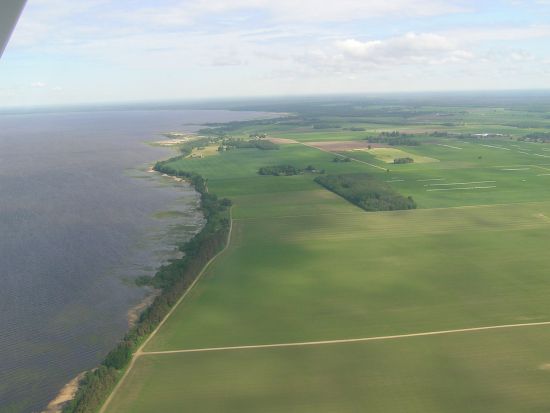
http://www.rannu.ee/index.php/2/30
A specific round-the-lake region
Located in the biggest basin of Central Estonia
Had been the ancient lake basin during Late Glacial period, only the southern part of the lake has remained due to land uplift and the outflow
Majority of the lowland has paludified
The lowest part is the valley of the Emajõgi river
Sangla mire system with peat fields
Kolga-Jaani drumlin field
About 50 lake islands with boreal heath pine forests
Plains with meandering rivers and flood plains
Rare floodplain forests, minerotropic swamp forests
Floodplain meadow communities
The second biggest floodplain meadow in Estonia
The polders of the Soviet time, many not in use any longer
The Võrtsjärve Limnology Centre of the University of Life Sciences on the east coast to monitor the eco-system
Agriculture mostly on the west coast
Fishing: 45 professional fishermen
The Lake Võrtsjärv Gates - information and visitor centres, recreation areas and berthing facilities established by the Lake Võrtsjärv Foundation
Bigger cities: Kolga-Jaani, Leie, Sangla, Pikasilla, Valma
The Alam -Pedja Nature Protection Area (upon Ramsar convention) to protect the mires north of the Emajõgi river
The Võrtsjärve Limited Conservation Area to protect the water area and the neighbourhood