Soomaa
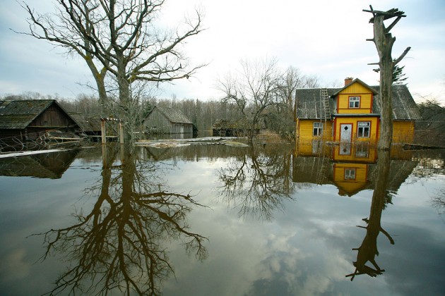
Flood at Soomaa
http://pilt.delfi.ee/album/157201/?view=blog&page=2
Lowland rich in bogs and flooding rivers
Formed in the course of the Glacial Era and post-Glacial Era
Located in Transitional Estonia, on the borders of the Low and High Estonia
Characterized by
- mires: swamps, transitional bogs, raised bogs; bog pools, estuaries, (hidden) brooks
- floodplains of rivers: floodplain meadows and wooded meadows
- forests on mineral soils: heath pine forests on the old dune ridges of the Soomaa/Sakale fringe area, floodplain forests on the floodplains of rivers
- the fifth season - floods in spring and autumn caused by braided rivers, little fall of rivers, land uplift in the northwest
Sparse settlement, though inhabited in the Stone Age already
Cultural heritage: one-log boats (haabjas), suspension and buck bridges, tavern sites by the ancient winter roads
Soomaa National Park:
- between the lower courses of the Halliste and Navesti rivers
- nominated as a Ramsar area