The Gulf of Livonia Coastal Lowland
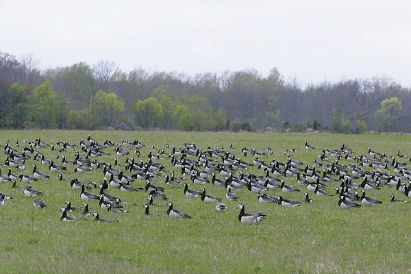
Coastal meadows are stopover sites for migratory birds to rest and find food
http://www.loodusemees.ee/pildipank.asp?RECORD_INDEX[fotopank_ekraanile]=65&RECORD_INDEX[fotopank]=61&otsingutekst= matsalu
The landscape region is formed of the south-western area of Estonia, Kihnu and Ruhnu islands and 23 islets
Originality of the relief due to the coastal forms of the different stages of the Baltic Sea
Relief: coastal terrace formed by land uplift, washed till plains, sandy beaches, the beach ridges (the oldest and highest form, absolute height 55.8 m asl), the coastal dune belt ( the ancient beach ridge of the Litorina Sea, 22.4...34.5 m asl)
Tolkuse bog as the ancient lagoon, an actively growing bog (1.8 mm/yr)
Locally extensive forest areas on varved clay plains
Broadleaf, pine, bog pine forests
Mineral water deposits in Häädemeeste
Arable lands and bigger cities in the eastern part
Settlement: dense settlement and road network between Ikla and Pärnu
Biggest city - Pärnu, a seaside resort and harbor; sandy beach growing due to the breakwater to protect the mouth of the river from excessive sands
Luitemaa Nature Protection Area - to protect the biggest coastal meadows and the coastal dunes
Kabli Nature Protection Area - to protect natural and semi-natural wetland communities