Kõrvemaa, or the Middle-Estonian Plain
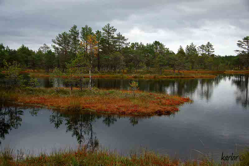
Kõrvemaa landscape is rich in bogs
http://pilt.delfi.ee/picture/7914945/
Extends from the North-Estonian Coastal Lowland to Soomaa
The meaning of „kõrb, kõrve": uninhabited primeval forest
Rich in marginal formations
Extensively paludified plain (plateau), intersected by esker systems, kame fields and small drumlins
On the foot of the Pandivere upland - drumlin fields
In North Kõrvemaa clear-water lakes between esker ridges - remnants of melted ancient glaciers under moraine cover (thermokarst), extensive forested regions
South Kõrvemaa is poor of lakes and forests but rich in mires
Water reservoirs of Paunküla and Soodla
Eastern part more populated: Paide, Türi
Agricultural fringe areas in the east: Väätsa, Särevere
In the northern and central parts big recreational areas: Palmse, Viitna, Aegviidu
Nature Protection Area of North Kõrvemaa - to protect heath forests, mires and extensive paludified forested areas and man-made Jussi plain, resembling tundra communities
Kõrvemaa Landscape Protection Area to protect virgin mire areas, kame fields, esker systems and drumlin fields; the biggest mire protected - the Kakerdaja mire (ab 1000 ha)