Valga Depression
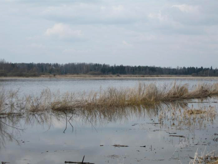
Korva floodplain meadows at the time of the spring flood of the Emajõgi river;
the meadows were used as cultivated grasslands during the Soviet time
http://www.estbirding.ee/linnualad/korva-luht
Formed before the Glacial Era
Located between Otepää, Karula and Sakala uplands
After the ice retreat a solid ice strip remained to the present-day Valga depression
After the retreat of the ice strip till moraine and sands were left behind
Kame fields, rolling landscape
The valley of the Väike Emajõgi river, intersecting to the morain plain; forests
Large flooded areas, floodplain mires
Large drained and cultivated floodplains (during the Soviet time)
Arable land on moraine plains
The biggest city: the Estonian-Latvian twin city Valga/Valka