Hargla Depression
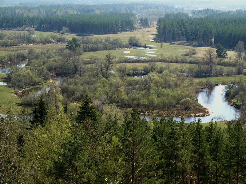
Floodplain meadow at the Mustjõgi river of the Koiva-Mustjõe habitat protection area
http://pilt.delfi.ee/picture/5999411/
Located between the Ugandi Plateau and the Haanja Height
A remnant of the plateau form of the pre-glacial times
After the Glacial Era - large ice meltwater lake that left a lot of sand
A system of several depressions and vales
Bedrock: sandstones of the Gauja and Amata strata and in the south, unique denudations of the dolomites of the Plavinas stratum on the banks of the Peetri river
Pine forests on the banks of the Gauja/Koiva river
The rivers discharge to the Gauja/Koiva river
Pine forests on the banks of the Gauja/koiva river
Floodplain meadows, unique oak wooded meadows with unique flora and fauna
Heritage sites: limestone buildings and lime burning facilities
The Mustjõgi river bird area