Pandivere Upland
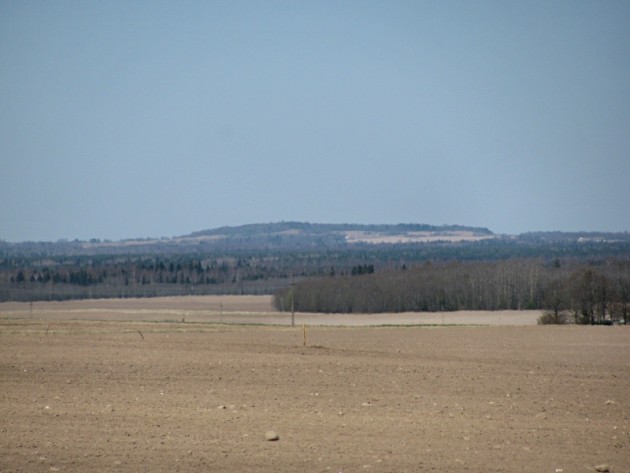
Emumägi hill, the highest top of the Pandivere Height, is an esker on a drumlin
(absolute height 166 m asl, relative height 79 m asl (above sea level)
http://pilt.delfi.ee/album/122503/?view=blog&page=3
The upland on bedrock core in North Estonia
Mound of limestone, covered with 2-5 m of Quaternary cover
Topography: eskers and chains of eskers up to 30 m of length
The highest point: Emumägi (166 m)
The most extensive karst area (dissolution of a layer(s) of soluble bedrock)
Karst features: sinkhole plains, sinkholes (cenotes, dolines),
Groundwater sensitive to pollution
Large infiltration area: rainwater filters into limestone bedrock fissures through moraine cover
Springs give start to numerous rivers: the rivers of Pärnu, Jägala, Põltsamaa, etc
Big mire areas on the edges
60% of the upland - the best soils in Estonia
Large fields, large rural settlements
Pine forests, oak forests
In northern part phosphorite and oil shale resources
Pandivere Water Protection Area to protect the water supplies of North Estonia