Karula Height
 |
275 km2
Edge formation between continental glaciers (ice lakes) Almost no bedrock core 4-8 km wide zone of round(ish) morainal cupola-shaped hills Numerous adjoined mounds (2-4 mounds „merged" together) Higher hills 10-25 m The highest point: Tornimägi (137m) Varied soils and vegetation Area is rich in forests: productive pine forests, virgin forests of 120...140 years Settlements are small, population sparse Quite natural life-style followed by inhabitants Karula National Park protects the most characteristic part of the height |
|
|
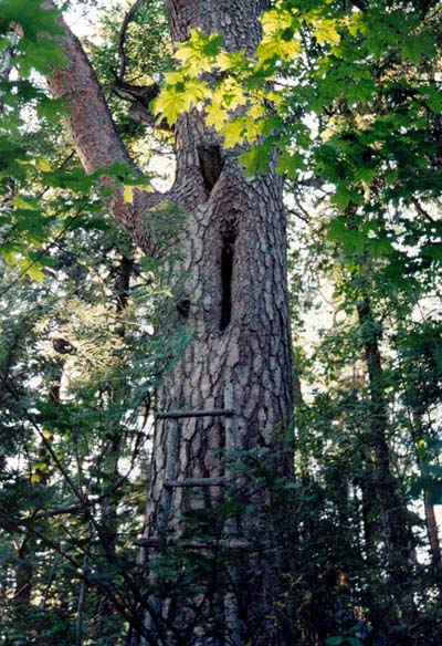
A sight at Karula: trunks of pine used as beehives, |